
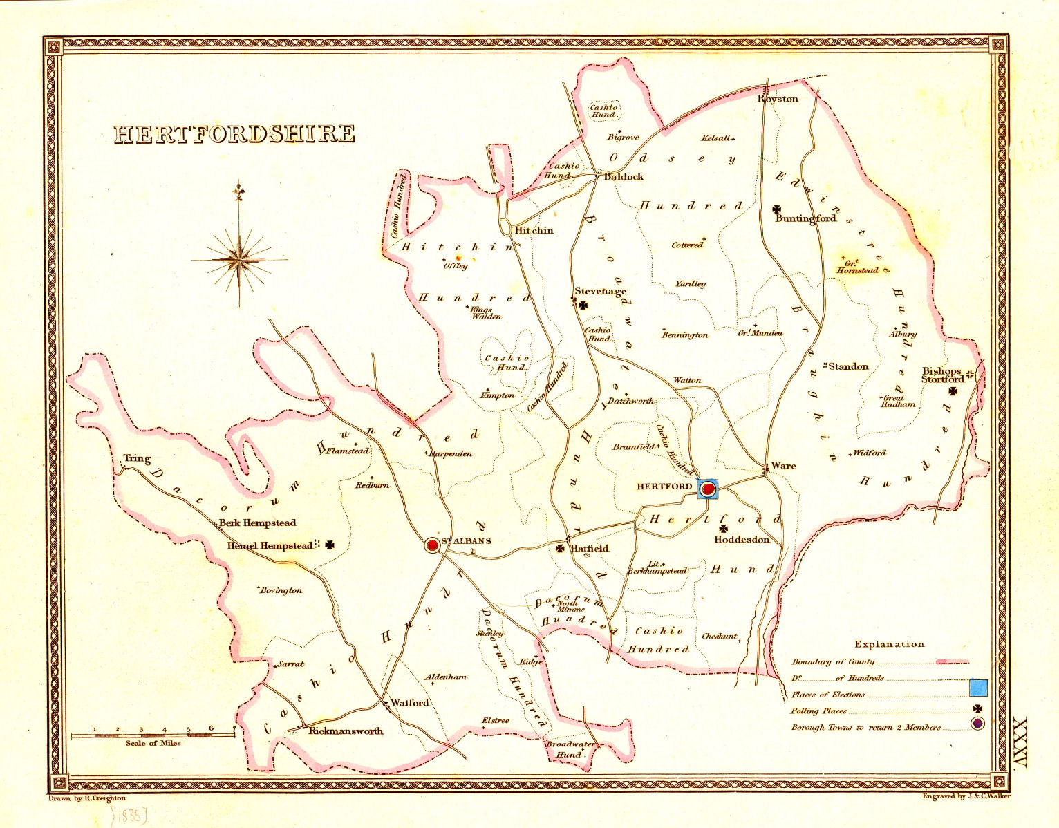
This parliamentary map of Hertfordshire is based on the changes that took place under the Reform Act of 1832 and in addition to the voting places shows the hundred boundaries and the principle towns.
click on map for larger image
| March 2013 | Page Created |