;z


Maps of Hertfordshire


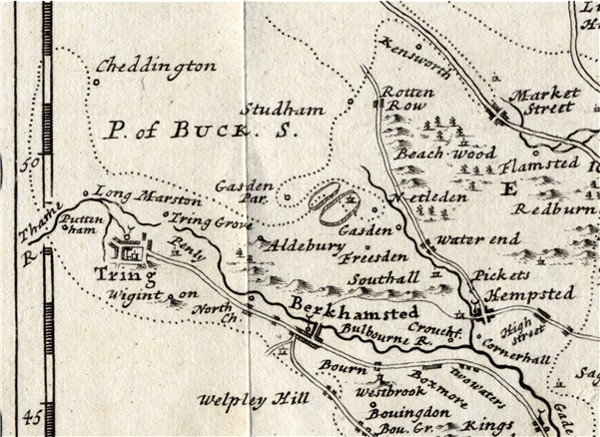
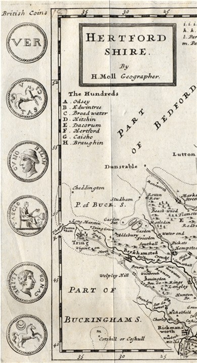
Herman Moll

Published in 

A new description of England and Wales, with the adjacent islands ... To which is added, a new and correct set of maps of each county ... and also to render 'em the more acceptable to the curious, their margins are adorn'd with great variety of very remarkable antiquities, &c. By Herman Moll, geographer.

Various editions 1724-1753


The Hertfordshire map was based on  Oliver's map with some detail from Mordon with details from A New and Correct Mapp of Middlesex, Essex and Hertfordshire with the Roads Rivers and Sea-Coast &c actually surveyed by Warburton, Bland and Smyth, More information is given in Printed Maps of Hertfordshire.


The following detail shows the westernmost part of the county, including Tring Berkhamsted and Hemel Hempstead.

HOME

 Page created September 2006