|
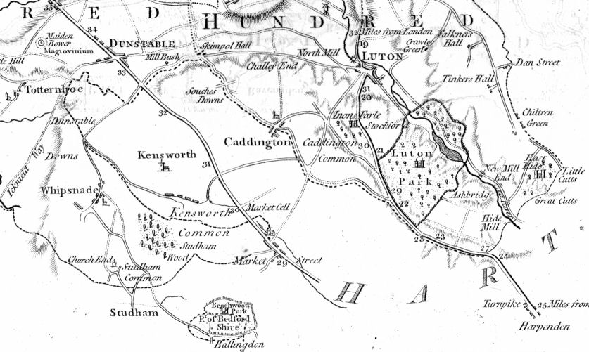
The Bedfordshire-Hertfordshire Border (from Bedfordshire Maps) |


|
|
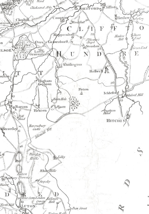
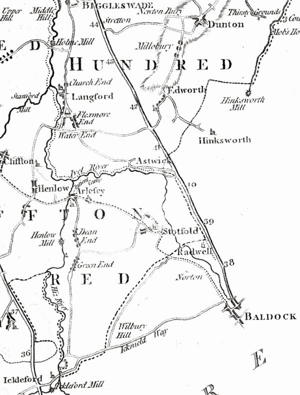
The Bedfordshire-Hertfordshire Border (from Bedfordshire Maps) |
|
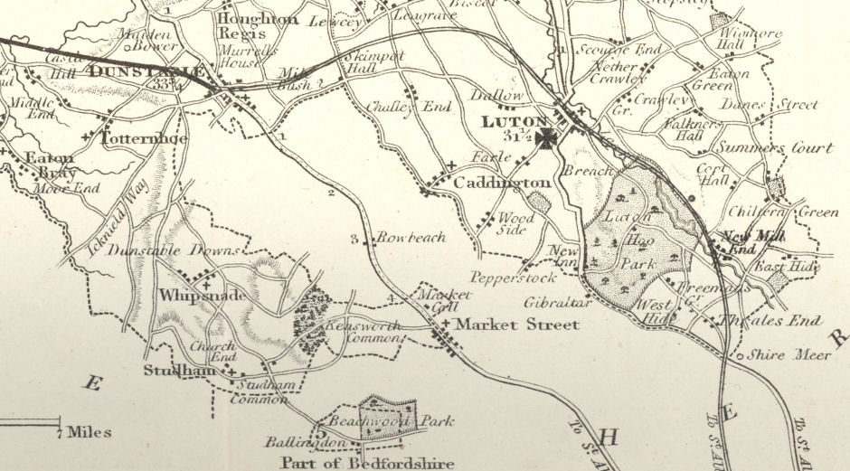 |
Detail from The British Gazetteer Bedfordshire
Published by H. G. Collins
This was published as a loose sheet circa 1850. It shows the Luton and Dunstable Railway, engraved over a map first published earlier in the century. |
|
Detail from Cassell's British Altas Bedfordshire
Published by Peter & Galpin Cassell circa 1863
This was published as a loose sheet, probably with Cassell's Illustrated Family Paper |
 |
|
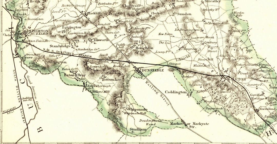
The Railway Age has arrived. This detail shows the London and North Western Railway and the Grand Junction Canal to the west, together with the Dunstable Branch and the start of the Aylesbury Branch line. It also shows, as a dotted line the route of the Midland Railway, which was under construction. |
|
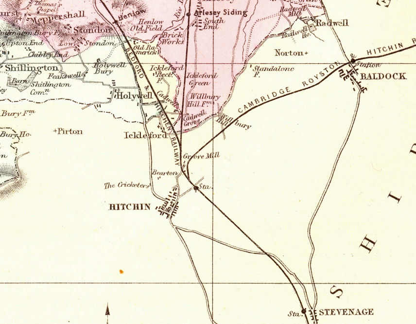 |
Detail from New Large Scale Ordnance Atlas of the British Isles Bedfordshire
Published by George W Bacon, 1886. (This edition showed the new parliamentary divisions agreed in 1885.)
This map clearly shows the railway lines branching from the Great Northern Railway immediately north of Hitchin railway station. |
| November 2010 | Page created | |