|
|

click on map for larger image on Wikimedia Common
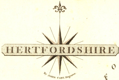
Cary's 1787 Map of Hertfordshire
John Cary was the top English map-engraver and publisher of the late 18th and early 19th centuries, and produced a variety of maps and atlases in various formats. The above map was his first of Hertfordshire and appeared in Cary's new and correct English atlas: being a new set of county maps from actual surveys. It is at a scale of 0.23" to the mile and the map area is 9.9" by 7.8". The map was based on Dury & Andrews map of 1766. Several minor changes were made to the plate. It was re-engraved in 1793 and published in later editions of the atlas until 1843 - the 1840 and 1843 versions showing the first railway lines. With the imprint information removed, extra railways added, etc, lithographic transfer prints from the plate were issued in Cruchley's County Atlas of England and Wales between 1863 and 1876.
|
|
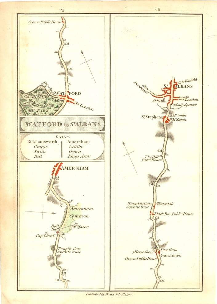
In 1789 Cary published a smaller version of the county map (3.6" by 4.8" at a scale of 0.1" to the mile) in Cary's traveller's companion, or a delineation of the turnpike roads of England and Wales, which, with minor updates, appears in editions until 1801. The plate was re-engraved and continued to appear between 1806 and 1821. It was re-engraved in 1822 and continued to appear until 1835. The map re-appeared, with updates, in Cruchley's Railroad Companion, in 1862. He also published strip maps of a Survey of the High Roads from London from 1790 at a scale of 1" to the mile.
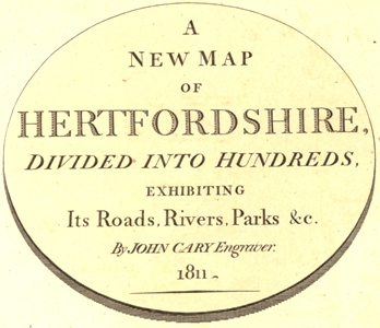
In 1801 he published a New Map of Hertfordshire divided into Hundreds (20.3" by 18.0" at a scale of 0.48" to the mile) which appeared in Cary's New English Atlas: being a complete set of country maps, from actual surveys ... until 1843. The map, with alterations and additions appeared in Cruchley's railway maps of the county from about 1855 to 1890. Details from the 1811 edition have been used on this web site.
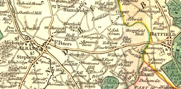
Detail from A New Map of Hertfordshire, 1811 printing
In addition parts of South Hertfordshire are mapped at 1" to the mile in Cary's Actual Survey of the Country Fifteen Miles Round London of 1800. In the 1830s Cary's New Map of England and Wales no longer published specific county maps - but one page shows the whole of Middlesex and most of Hertfordshire.
See the Wikipedia Biography of John Cary (circa 1754-1835)
See also The Bedfordshire-Hertfordshire Border for details of one of his large scale Bedfordshire maps
A Note on the different printings and their dates.
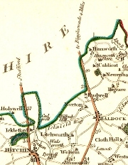 1787 |
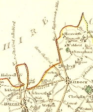 1793 |
Plates were often updated and the differences can be quite small. The 1787 detail shows the roads between Hitchin and Baldock as first printed. (The colour was added by hand later and colouring differences are irrelevant.) By 1793 the Icknield Way between Hitchin and Baldock, and the road through Norton, had been changed to being a main road (thicker line on one side) and the labels on the roads leaving the county have been modified. Fortunately, in this case the dates are also marked on the publishing details at the bottom of the maps.
For extensive details on the different editions see Printed Maps of Hertfordshire.
Page created November 2007