 |
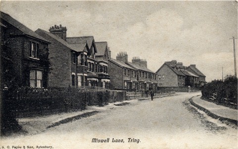
Miswell Lane, Tring Looking up the hill, with Longfield Road going off to the left in the distance. The hedge on the right is where the council houses were erected in the early 1900s. |
TRING
A Walk through
Tring in
Early Picture Postcards
mainly by
local photographers
Miswell Lane
|
|
Miswell Lane, Tring Looking up the hill, with Longfield Road going off to the left in the distance. The hedge on the right is where the council houses were erected in the early 1900s. |
|
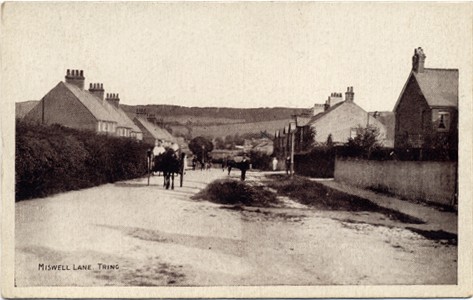
Miswell Lane, Tring known posted 1943 Looking down the hill after the council houses have been built. The road to the right is Beaconsfield Road. The diagonal path crossing the road from the right is an old footpath from Drayton Beauchamps to Tring town centre. |
 |
|
|
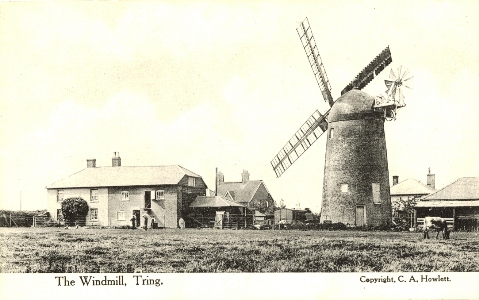
The Windmill, Tring
Goldfield Windmill, or Grover's Mill is on the ridge at the top of Miswell Lane. It is reported as having lost it sails in 1903, and was worked by steam for the next 20 years or so. |
|
|
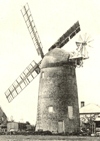
See also picture in Tring: A Pictorial History |
||
|
If you continue straight ahead down a farm lane you reach Miswell Farm - Miswell being mentioned in the Domesday Book. Instead turn right along Icknield Way and immediately past the cross road you come to ... |
||
|
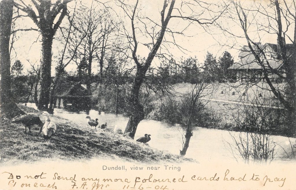
Dundell (Dundale) No Publisher, posted 1904
A large spring, modified to form a pond, together with a hunting lodge used by the Rothschild Family. |
 |
|
|
Continue East along Icknield Way until
you reach |
==============================================================
Page updated December 2007