|
Old maps of Hertfordshire |
|
||||
|
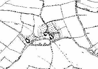
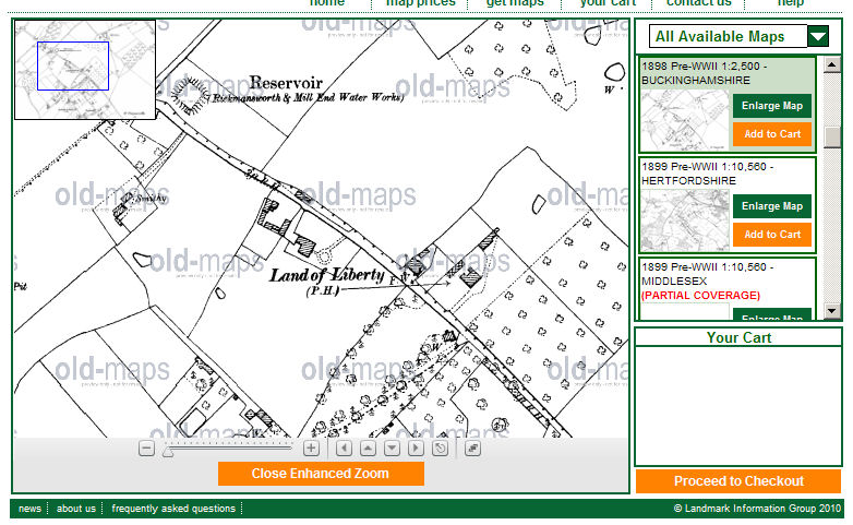
Ansells End, Kimpton, where the two John Ivory
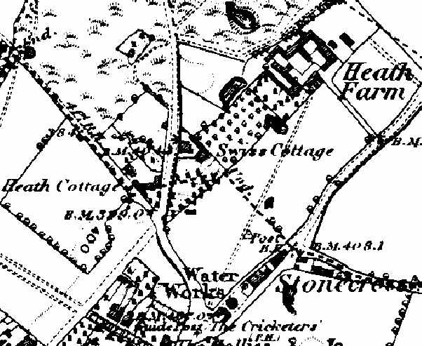
lived The maps available for free viewing from this web site have been extracted from Ordnance Survey (OS) County Series 1:10,560 scale First Edition maps which are held by Landmark for the whole of Great Britain. Later editions and other scales of mapping are also available from Landmark. Map extracts can be purchased as Decorative Maps direct from this web site. There is a comprehensive list of place names to allow you to locate the area of the map you want - but this does not go down to the level of individual farms - although they are clearly shown on the maps.
|
Other Sources has a number of maps including large scale Ordnance Survey maps (circa 1880) of Hertfordshire
|
|||||