|
|
 |
Cary's
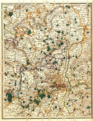
Map of Middlesex and Hertfordshire - 1835
|
|
|
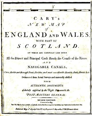
Cary's New Map of England and Wales with
part of Scotland
of which are carefully laid down all the direct and principal
Cross Roads, the Corse of Rivers and Navigable Canals, Cities, Market and
Borough Towns, Parishes, and considerable Hamlets, Parks, Forests, &c, &c.,
Delineated from Actual Surveys and materially infilled from Authentic Documents
Liberally supplied by the Right Honourable the Post Master General.
Second Edition corrected to 1835
Published May 1st 1832 by G. & J. Cary, Engraver & Mapseller,
No 86, St James Street
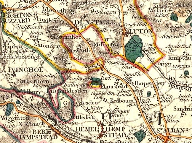
Detail showing the North West of the map showing the complex county boundaries around Luton.
Note that the line of the London to Birmingham Railway, which opened in 1837, has been marked.
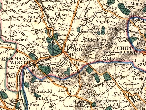
Detail of the area around Watford
The map is not listed in Printed Maps of Hertfordshire.
See also Cary's Maps of Hertfordshire
Page created September 2007