|
Old Maps of the Tring Area of Hertfordshire |
|
Old Maps of the Tring Area of Hertfordshire |
|
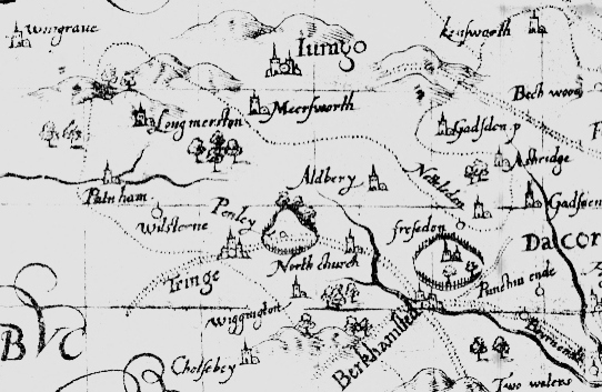
The Tring Area from John Norton's Map of 1598 |
 |
|
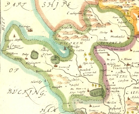
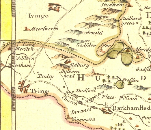
First published 1695 This detail is from the same plate as reissued (with very minor modifications) in 1753 or 1772
|
 |
|
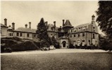 Champneys |
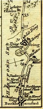
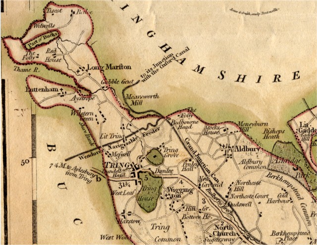
Charles Smith's 1808 Map of Hertfordshire
The Grand Junction Canal and the Wendover Navigable Feeder were open by 1800.
Aston Clinton (Bucks) (Not shown - To West of Wilstone)
Buckland (Bucks) (Not shown - To West of Puttenham)
Champneys (Not shown - On road with buildings south of Wigginton)
Cow Roast (Not shown - on main road between Tring and Northchurch, south of New Ground)
Drayton Beauchamps (Bucks) (Not shown - To West of Little Tring)
Gubblecote (Gubble Gent)
Hastoe (Harstoe)
Little Tring (Lit Tring)
Marsworth (Bucks) (Mearsworth Mill)
Pendley (Penley Hall)
Tring Mansion (Tring House)
Wigginton (Wiggington)
Wilstone (Wilstern Green)
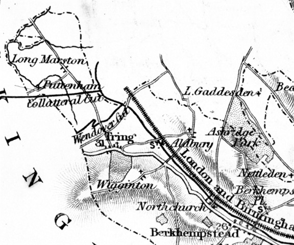
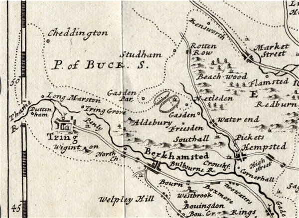
From Archer's circa 1842 Map of
Hertfordshire
The London and
Birmingham Railway and the Aylesbury arm ("Collatteral Cut") of the
Grand Junction Canal are shown, but the Cheddington to Aylesbury branch railway
line which cut across the north of the area is not marked, although it had been
built.
 |
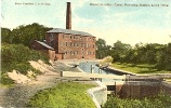
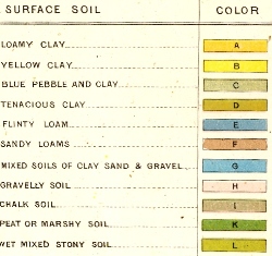
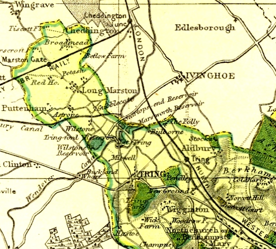
Dean's Surface Geology Map 1864 |
| See old-maps for 1884 map plus a modern map and airview |
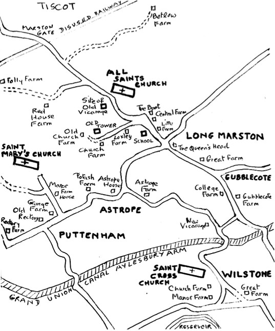
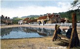
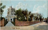
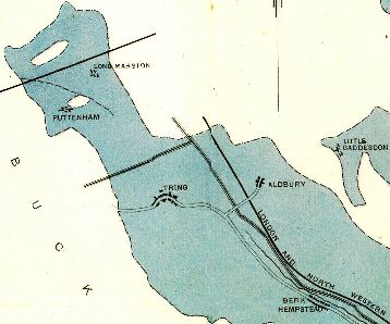
Modern map from the Long
Marston Church Guide
Page updated March 2007